Satellite imagery tracks Kharoum’s South Kordofan refugee “chokepoint”
By Toby Collins
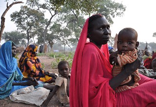
January 31, 2012 (LONDON) – The US Satellite Sentinel Project (SSP) released a report on 27 January stating that satelitte imagery from South Kordofan may show Kharoum’s forces creating a “chokepoint” for refugees fleeing the area.

Sudan activist and Enough Project co-founder, John Prendergast said that 45 km north of the Yida UN refugee camp in South Sudan, an estimated 200,000 civilians are being prevented access to humanitarian aid or access to the the camp by SAF’s “chokepoint”.
A SAF bombing raid on the Yida refugee camp in November 2011 received widspread international condemnation.
Khartoum is engaged in conflict with Sudan People’s Liberation Movement – North (SPLM-N) rebels in the border states of Blue Nile and South Kordofan. Kharotum accuses South Sudan of backing the SPLM-N.
Enough Project director, John Bradshaw, noted that the activity documented by the satellite is “almost identical to the Government of Sudan’s road-building activity and disposition of forces revealed by satellites in March of last year” – when SAF overran the disputed region of Abyei in May 2011, resulting in the displacement, according to the UN, of nearly 100,000 people.
(ST)
